Iceberg Tagging
Calling all Arctic adventurers! Be part of the ACCIBERG project by either requesting a GPS tracker to deploy to an iceberg, or help us beta-test our iceberg forecasts.
In-situ iceberg trajectories tagged with buoys are vital for validating the iceberg forecast model. But this data is not very common and can be hard to get hold of, so the ACCIBERG project has its own GPS trackers that can be requested by volunteers to help collect this data. ACCIBERG can provide a GPS tracker to be placed on an iceberg, which will then follow iceberg and help calibrate the iceberg model. We have 12 of them available, on a first come, first served basis. The deployment of buoys on icebergs is a dangerous operation and strict security protocols are required by the Ice Services, so security protocols for tagging icebergs are available.
Deploying GPS trackers to icebergs
In-situ iceberg trajectories tagged with buoys are vital for validating the iceberg forecast model. However the amount of data available is quite limited, and what exists is scattered between industry, academia, and public bodies. ACCIBERG aims to increase the amount of data available by taking further measurements via the deployment of GPS trackers on icebergs, and by collecting together data sets that have not yet been made publicly accessible.
ACCIBERG is calling all Arctic adventurers, with an interest in icebergs! The project needs volunteers to help collect the iceberg tracking data. ACCIBERG can provide a GPS tracker to be placed on an iceberg, which will then follow the iceberg and help calibrate the iceberg model. There are 12 GPS trackers available, on a first come, first served basis. The deployment of buoys on icebergs is a dangerous operation and strict security protocols, outlined below, are required by the Ice Services, so security protocols for tagging icebergs are available. Use the link below to volunteer.
The first iceberg tagging campaigns started in the summer of 2025, tracking an iceberg to the northwest of Greenland in the remote Melville Bay. The progress can be followed on NERSC's Arctic virtual lab visualisation tool. At the same time, tagging work is also taking place further south in Disko Bay, and soon there will be more iceberg tracks to follow.
Finding existing iceberg trajectory data is not always an easy task. Much of the data are owned by industry, which is not always publicly available. The data collected by academia and public bodies are more readily available. One of the largest deployments was done by DMI in 2021 in Disko Bay (West Greenland) as part of ICE-PPR Iceberg Tagging (IIT) Experiment 21, led by the US Office of Naval Research (ONR). This deployment is the most extensive and publicly available so far, and defines the main validation period of the project: from August to October 2021, during which the Sentinel-1 satellite constellation was nominal. Additional data from various other sources, some going back to 1977, will also be available to the project.
Iceberg Tagging protocols
In order to tag icebergs with the GPS provided by the project, the security protocols document must be followed. The document outlines the type of iceberg observation to be made, in terms of size and shape. There are different safety protocols for shipboard and drone observations. An iceberg report sheet is included in the document, that should be used for all ACCIBERG iceberg observations.
Iceberg forecasts beta testing
Coming soon: ACCIBERG will demonstrate its pilot iceberg forecasts for beta-testers in the summer of 2026. Volunteers can request a forecast for a specific iceberg and the iceberg trajectory forecast will be computed on-demand, based on the latest Copernicus data, and sent to the individual beta testers.
Iceberg Tagging Photo Gallery
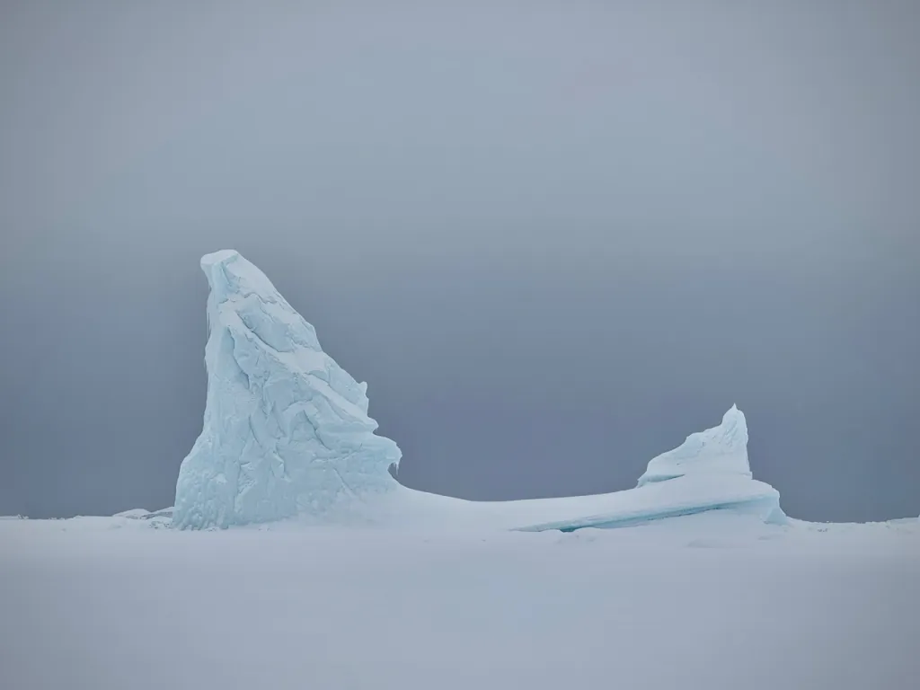
The west coast of Greenland is home to the main iceberg-producing glaciers of the region, where huge icebergs calve directly into the sea. The area between Disko Bay and Melville Bay can produce thousands of icebergs each year, the largest of which are ground in the fjords and never become free. Over summer, as the fast ice breaks up, most of the icebergs drift out into Baffin Bay, creating hazards for passing ships and local boat traffic.
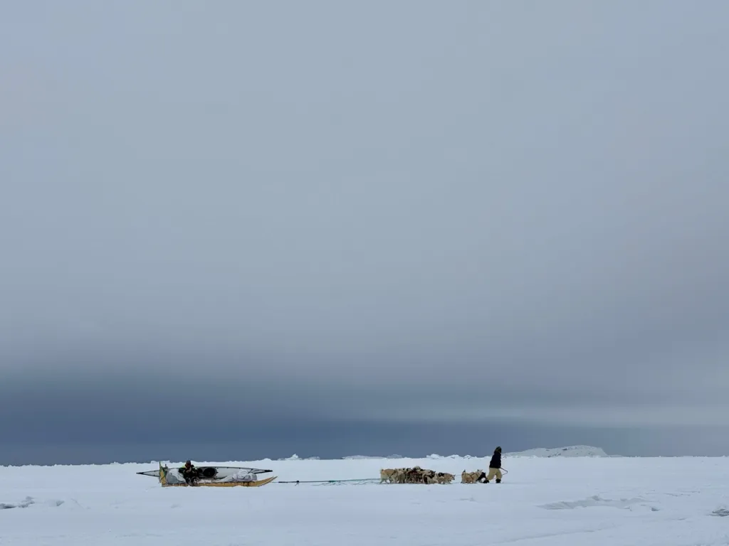
ACCIBERG has recruited volunteers to help tag the icebergs with GPS trackers, this will give us more data on the movements of icebergs, such as how they drift and their expected lifetime. These in-situ iceberg trajectories that we will get from the GPS trackers are vital for validating the iceberg forecast model being developed in the project. The team at SEDNA, a French tourism operator in the Arctic, run trips to remote areas around Greenland by dog sledge and by boat. Their team includes locals with knowledge of the icebergs along the west coast of Greenland and they are often in close proximity to large areas of iceberg calving. They are therefore ideally placed - and thankfully very willing - to help place the GPS trackers. These field campaigns to tag icebergs have resulted in some fantastic images and videos of the landscapes and icebergs in remote parts of the Greenland coast. Many thanks to the SEDNA team and Sagax Entertainment for compiling these.
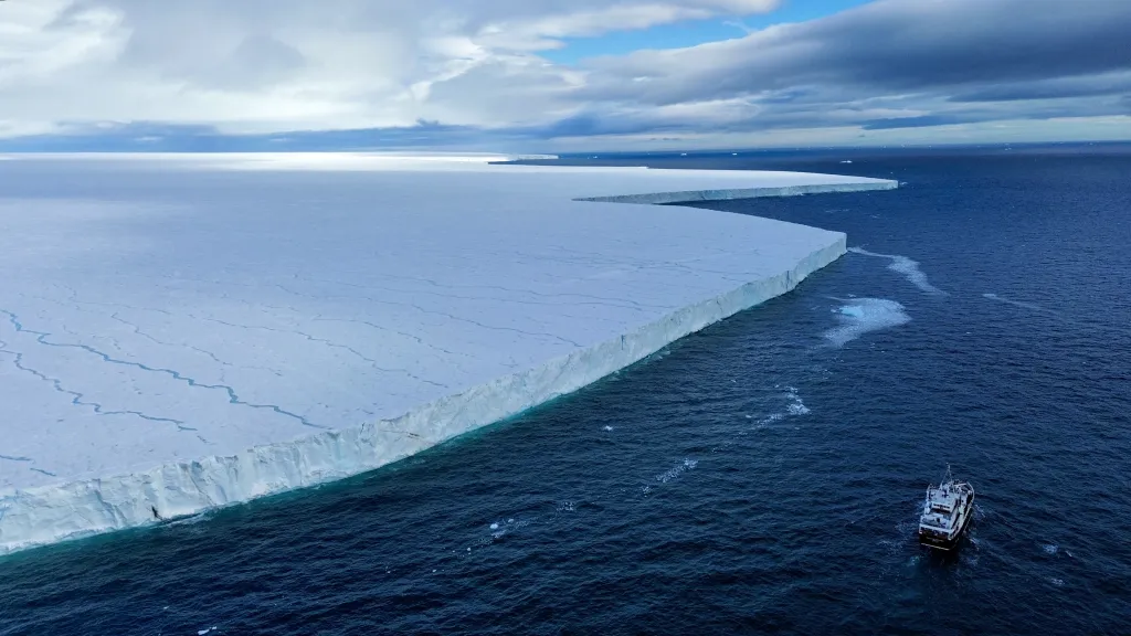
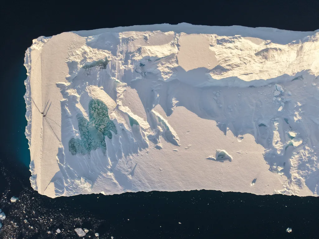
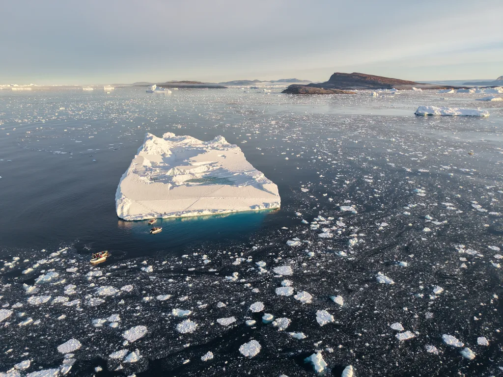
Melville Bay, north-west Greenland
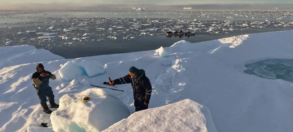
Successful deployment of the "Juliette" GPS tracker, September 2025 on a large tabular iceberg. The iceberg's movements are being tracked, and can be followed on NERSC's Arctic virtual lab visualisation tool. An animation of her travels along the Greenland coast and out into Baffin Bay can be seen on our LinkedIn page, where we'll post regular updates of the iceberg's progress.
All images and videos are copyright: ©INUAprod/Dorothée Adam ©Sagax Entertainment/Luc Hardy ©SEDNA/ Nicolas Dubreuil - 2025

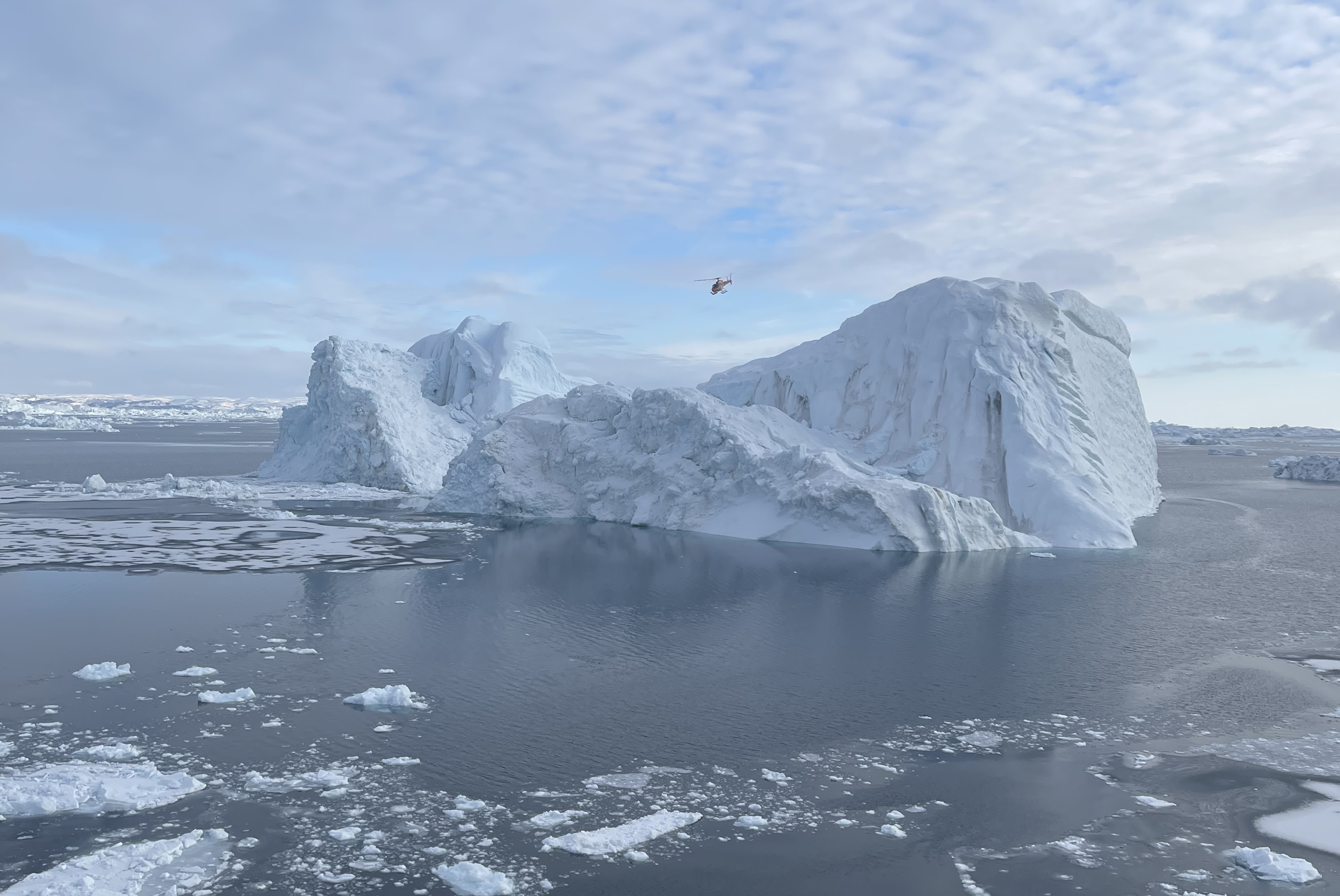
Illulisat and Kullorsuaq, Greenland
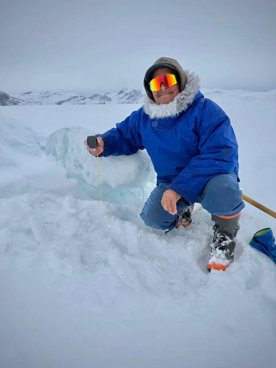
The SEDNA team explored the area around Illulisat, west Greenland in April to find potential icebergs to tag. These initial trips in spring 2025 had some setbacks - both with the GPS trackers and the icebergs. They successfully tagged one iceberg near Disko Bay - pictured below with the helicopter - but it has remained grounded throughout the melt season, so no useful data has been produced.
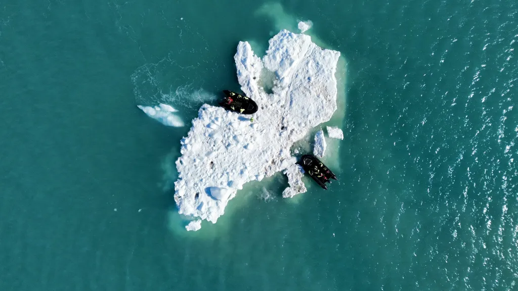
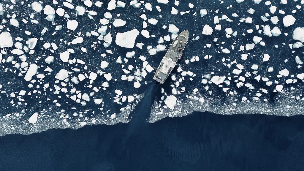
Further attempts were made to tag icebergs in May 2025, further north along the coast in Kullorsuaq, these are the last three pictures in the carousel. On a grey day the team climbed on to the visible part of the 50m long iceberg and placed the small GPS tracker on the ice. However, the tracker failed to function, so again, the project will get no data from this iceberg. Another attempt will be made later in the season, even further north in Melville Bay, with a better and more reliable GPS tracker.
All images and videos are copyright: ©INUAprod/Dorothée Adam ©Sagax Entertainment/Luc Hardy ©SEDNA/ Nicolas Dubreuil - 2025