Scientific Outputs
Retrieving and comparing different sea ice forecasts (from operational forecasts and climate models) used to be a cumbersome task, but project partner ECMWF has simplified the process by developing a software package called ICECAP (sea-Ice Calibration, vErifiCAtion and Products). ICECAP is specifically designed to provide end-user forecast products based on sea ice forecasts from days to seasons ahead from multiple forecast centres, alongside information on the quality and uncertainty of those forecasts.
The software is intended for two main user types, scientific and end-user, with two different user interfaces. The scientific-user interface can run ICECAP on a Linux system using a workflow manager (e.g. ecFlow), which enables the user to use all implemented capabilities. The end-user interface is more user-friendly and can be used via jupyter notebooks, however providing simpler capabilities.
The software can be found at https://github.com/ecmwf/ICECAP
Test ICECAP for yourself: Demonstrations of ICECAP on EDITO
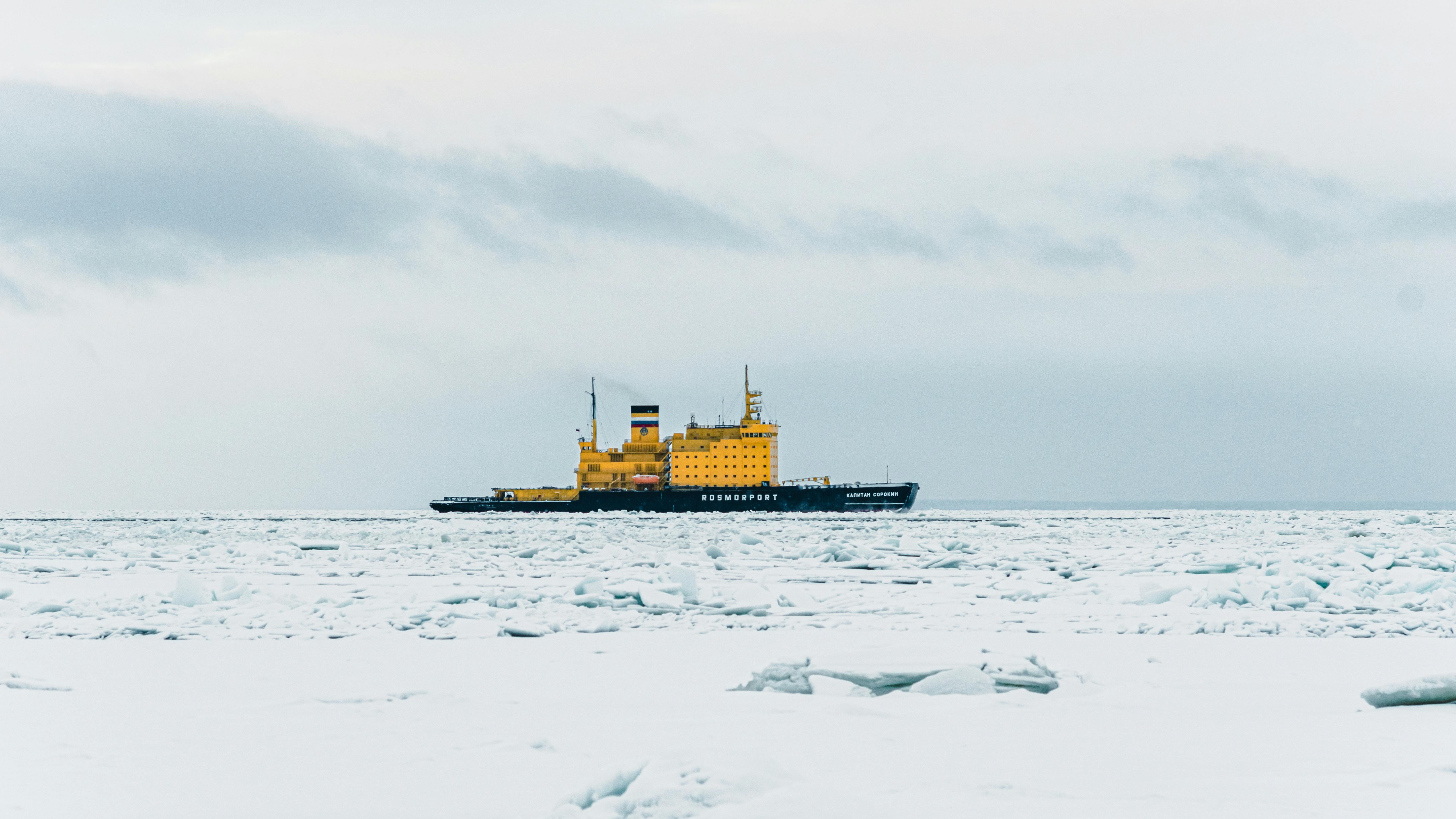
The OpenBerg package is a software tool to simulate the drift and fate of icebergs and contributes to the improved iceberg forecasts in the Arctic. It can be used for calculation of individual iceberg drift trajectories and risk maps and is intended anyone interested in tracking icebergs.
The open-source package is found online within the OpenDrift Python toolbox, where it can be downloaded and operated locally by anyone with basic knowledge of Python. It also comes with a built-in graphical user interface (GUI) that can be used without knowledge of programming. It is also available (pre-installed) on the WEkEO platform, and may also be easily installed on the EDITO platform, as documented on the OpenDrift website.
Since January 2026, the OpenBerg module has also been added to the operational service Drifty (rest.drifty.met.no) operated by MET Norway, and is available to registered users only through the web interface værio.no.
Trial OpenBerg demonstrations on EDITO
Related Deliverables:
Satellite-based iceberg detection capabilities have been improved and expanded, with the goal of supporting pan-Arctic applications. ACCIBERG partner DMI’s Iceberg Detection Algorithm (DIDA) has been expanded to achieve more comprehensive coverage of the Barents and Kara Seas.
The satellite detection algorithm has been modified to remove ships based on their AIS data, and the false detection of sea ice as icebergs has been improved thanks to an automated new sea ice concentration product by DMI. Further developments use additional sensors and thermal noise removal, which show a high level of agreement.
Access the iceberg products on CMEMS: SAR Sea Ice Berg Concentration and Individual Icebergs Observed with Sentinel-1 & RCM
ACCIBERG is introducing the assimilation of raw (Level-1b) satellite EO data for improving the forecasts of sea-ice concentration and sea-ice type. Project partner Met Norway is developing dynamic calibration of the satellite simulators for integration into the data assimilation system of the Arctic CMEMS forecast system. Improvements are being made to the original Radiative Transfer Model (RTM), which was retrieved and tested using AMSR2 and ERA5 data. The early results showed significant errors over the sea-ice areas, with both an over-estimation of brightness temperatures over multi-year ice and under-estimation over first-year ice areas. The RTM has then been modified to account for the type of sea ice, providing a more realistic ice emissivity field to the RTM. This has allowed a significant improvement of the simulated brightness temperatures (see figure below). We have now started to use the updated RTM for direct assimilation of brightness temperatures (Level-1b) instead of sea-ice concentration (Level-2). We are thus building upon previous work that demonstrated the advantage of assimilating Level-2 rather than Level-4 sea-ice concentration (Durán Moro et al. 2024).
Access the codes to produce RTM TBs for TOPAZ and run EnKF on GitHub
NEDAS, a new open-source EnKF assimilation software entirely in Python, has been developed as part of the project in order to accelerate the development and testing of novel data assimilation methods, such as the assimilation of brightness temperatures from satellites. It provides a light-weight Python solution to the ensemble data assimilation (DA) problem for geophysical models. It allows DA researchers to test and develop new DA ideas early-on in real models, before committing resources to full implementation in operational systems. NEDAS is armed with parallel computation (mpi4py) and pre-compiled numerical libraries (numpy, numba.njit) to ensure runtime efficiency.
The modular design allows the user to add customized algorithmic components to enhance the DA performance. It offers a collection of state-of-the-art DA algorithms, including serial and batch assimilation approaches, making it easy to benchmark new methods – like the assimilation of Level 1 passive microwave data – with the classic methods in the literature before jumping into operationalisation. For anyone wishing to try a new data assimilation method, but without the hassle of operational codes, then the NEDAS source code is publicly available on: https://github.com/nansencenter/NEDAS
Publications
Assimilation of satellite swaths versus daily means of sea ice concentration in a regional coupled ocean–sea ice model
Durán Moro, M., Sperrevik, A. K., Lavergne, T., Bertino, L., Gusdal, Y., Iversen, S. C., and Rusin, J.: Assimilation of satellite swaths versus daily means of sea ice concentration in a regional coupled ocean–sea ice model, The Cryosphere, 18, 1597–1619, https://doi.org/10.5194/tc-18-1597-2024, 2024
Operational forecasting systems routinely assimilate daily means of sea ice concentration (SIC) from microwave radiometers in order to improve the accuracy of the forecasts. However, the temporal and spatial averaging of the individual satellite swaths into daily means of SIC entails two main drawbacks: (i) the spatial resolution of the original product is blurred (especially critical in periods with strong sub-daily sea ice movement), and (ii) the sub-daily frequency of passive microwave observations in the Arctic are not used, providing less temporal resolution in the data assimilation (DA) analysis and, therefore, in the forecast. Within the SIRANO (Sea Ice Retrievals and data Assimilation in NOrway) project, we investigate how challenges (i) and (ii) can be avoided by assimilating individual satellite swaths (level 3 uncollated) instead of daily means (level 3) of SIC. To do so, we use a regional configuration of the Barents Sea (2.5 km grid) based on the Regional Ocean Modeling System (ROMS) and the Los Alamos Sea Ice Model (CICE) together with the ensemble Kalman filter (EnKF) as the DA system. The assimilation of individual swaths significantly improves the EnKF analysis of SIC compared to the assimilation of daily means; the mean absolute difference (MAD) shows a 10 % improvement at the end of the assimilation period and a 7 % improvement at the end of the 7 d forecast period. This improvement is caused by better exploitation of the information provided by the SIC swath data, in terms of both spatial and temporal variance, compared to the case when the swaths are combined to form a daily mean before assimilation.
The impact of stochastic sea ice perturbations on seasonal forecasts
Strommen, K., Mayer, M., Storto, A., Spaeth, J., and Tietsche, S.: The impact of stochastic sea ice perturbations on seasonal forecasts, EGUsphere [preprint], https://doi.org/10.5194/egusphere-2025-6402, 2026.
Sea ice ensemble forecasts can be highly underdispersive, meaning that the ensemble spread is notably lower than the average forecast error. One common strategy to address underdispersion is to add stochastic perturbations to the forecasts. We detail the implementation of a stochastically perturbed parameter (SPP) scheme for SI3, the sea ice component used by the Integrated Forecast System (IFS), the forecast model used and developed by the European Centre for Medium-Range Weather Forecasts (ECMWF). We then evaluate its impact on seasonal forecasts of northern hemisphere summer and winter. The inclusion of SPP is found to enhance ensemble spread for sea ice concentration (SIC) and sea ice thickness (SIT) forecasts by around 10 % relative to an unperturbed forecast, which results in a better calibrated probabilistic forecast. Some small but robust changes to the mean state are also found, including a general decrease in the mean SIC and a redistribution of the winter ice from the central Arctic to the ice edge. These changes reduce or increase the mean bias depending on the region. Changes to the mean and spread of the sea ice result in changes to the mean and spread of air temperature up to at least 850 hPa, altering the mean air temperature biases of the model. An apparent consequence of this is a significant increase in seasonal forecast skill of 500 hPa geopotential (Z500) over the Euro-Atlantic domain in winter, which partially projects onto the North Atlantic Oscillation. We conclude that sea ice stochastic perturbations can be a valuable contribution to increased reliability of seasonal forecasts of the sea ice itself and can impact seasonal forecasts of the atmosphere at high and mid latitudes.
Assimilation of satellite swaths versus daily means of sea ice concentration in a regional coupled ocean–sea ice model
Bertino, L., Downy, C., Lavergne, T., Tietsche, S., Storto, A., (2024). Improving Copernicus forecasts of Arctic sea ice and icebergs with the ACCIBERG project, Climate Change and Security Workshop Proceedings, CMRE-CP-2024-001, https://www.climatechangesecurity.org/wp-content/uploads/2024/04/CMRE-CP-2024-001.pdf