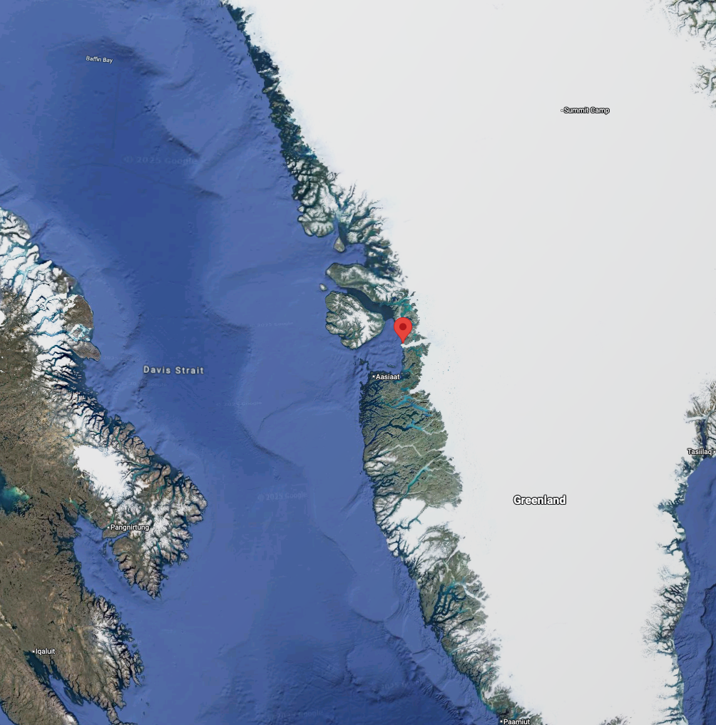
May in the Arctic means the arrival of permanent daylight, and the onset of the breakup of the sea ice around Greenland. This means that the first deployments of GPS trackers onto icebergs around Greenland could take place last week. A team from the travel company Sedna-Explore have volunteered to help the ACCIBERG project tag the icebergs. As part of one of their trips, they have deployed three buoys with GPS trackers onto icebergs along western Greenland, starting in Ilulissat, along to just north of Kullorsuaq.
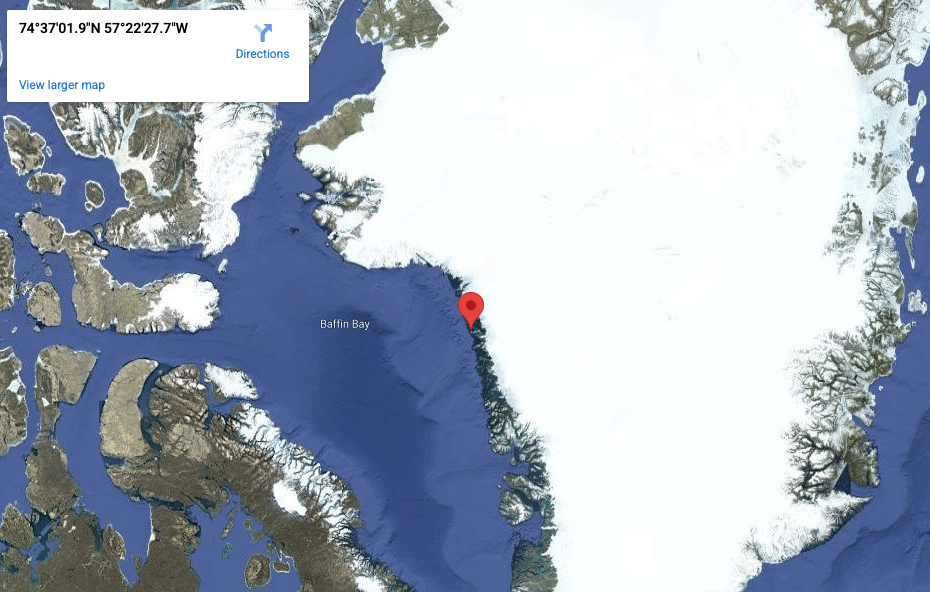
Follow the location of the GPS Tracker "Sheila", located on an iceberg west of Greenland
The iceberg tagging is being done as part of a data gathering exercise, to collect more information on the movements of individual icebergs. Part of ACCIBERG's work aims to improve model representation of icebergs around Greenland, and these in-situ data measurements of icebergs will help calibrate the iceberg model. Further campaigns on iceberg tagging will be undertaken by other voluntary groups later in the season. In addition, ACCIBERG is gathering together as many iceberg tracking datasets as possible, finding individual campaigns and collecting data sets that have not yet been made publicly accessible.
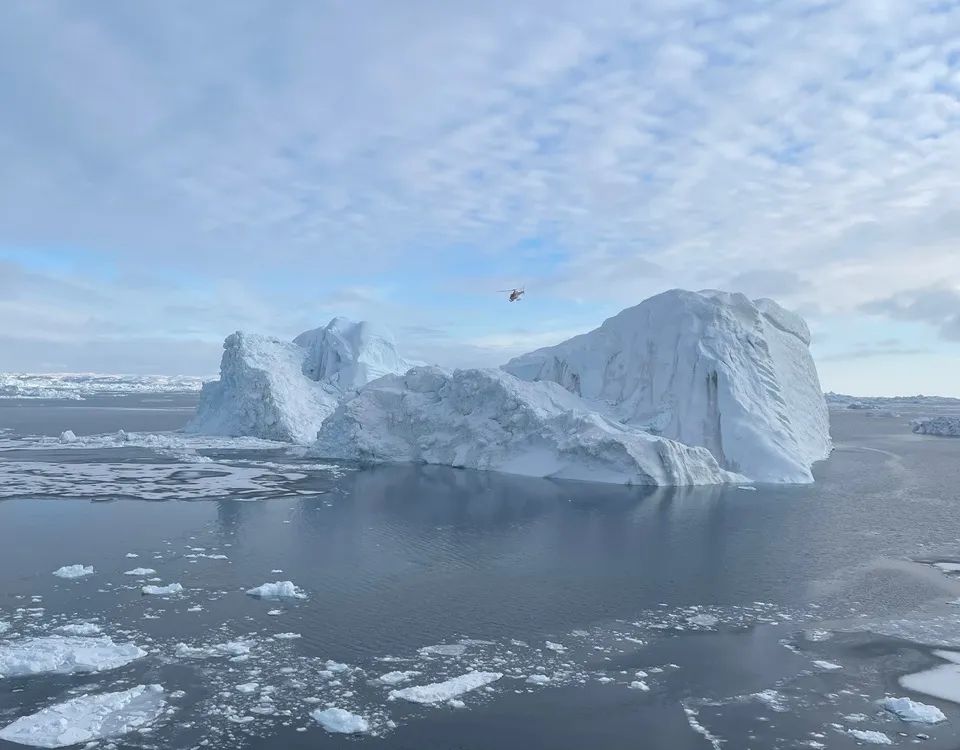
Here, the Sedna-Explore company used a helicopter to tag an iceberg outside of Ilulissat, Greenland with the GPS SPOT Tracker named "Dalida". This area is known for its large icebergs, which calve from the fast-flowing glacier nearby. Often, icebergs as big as this one stay grounded for a long time, before eventually floating free.