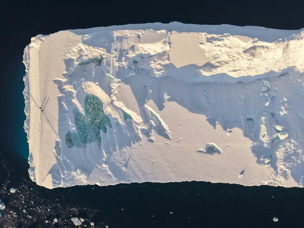
The west coast of Greenland is home to the main iceberg-producing glaciers of the region, where huge icebergs calve directly into the sea. The area between Disko Bay and Melville Bay can produce thousands of icebergs each year, the largest of which are ground in the fjords and never become free. Over summer, as the fast ice breaks up, most of the icebergs drift out into Baffin Bay, creating hazards for passing ships and local boat traffic.
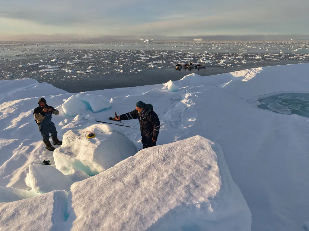
ACCIBERG is working to improve iceberg forecasts, but in order to do that the project needs more data on the movements of icebergs, such as how they drift and their expected lifetime. The limited data we currently have comes from tagging icebergs with GPS trackers, but we lack data for icebergs in many areas, so ACCIBERG has recruited volunteers to help expand our knowledge here. The in-situ iceberg trajectories of icebergs that we will get from the tagged buoys are vital for validating the iceberg forecast model.
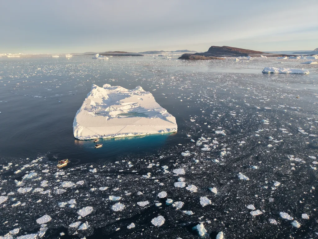
One of the volunteers is Nicolas Dubreuil, who is undertaking the GPS tagging, while running tourist expeditions via his company, SEDNA, in the remote Melville Bay.
This is the first iceberg to be tagged in Melville Bay, so the data will be very valuable to the ACCIBERG team. The iceberg's movements are being tracked, and can be followed on NERSC's Arctic virtual lab visualisation tool. At the same time, tagging work is also taking place further south in Disko Bay, by Lars Henrik Smedsrud from the University of Bergen, and soon there should be many more iceberg tracks to follow.