ACCIBERG
Arctic Cross-Copernicus forecast products for sea Ice and iceBERGs
Developing a new iceberg forecasting service and improving the quality of Arctic sea ice forecasts across Copernicus Marine and Climate Change services
Newsletter No.6 now out
The latest news from ACCIBERG is here - our newsletter number 6 is now out! Find out about our new guides to sea ice and iceberg forecasts on EDITO, the upcoming stakeholder workshop, and how the iceberg GPS tagging has been going.
ACCIBERG Stakeholder Workshop - 12 June 2026
ACCIBERG invite you to the second stakeholder workshop, taking place both online and in person at DMI, Copenhagen, Denmark from 9:00 - 14:00 on 12th June 2026.
Iceberg Tagging Photo Gallery
The field campaigns to deploy GPS trackers onto icebergs have resulted in some fantastic images and videos of icebergs in remote parts of the Greenland coast. Head to the Photo Gallery on the Iceberg Activities page to scroll through the pictures from the campaigns. Many thanks to the SEDNA team and Sagax Entertainment for compiling these.
Juliette helps us produce better forecasts
How do we know what happens over the lifetime of an iceberg? By placing a GPS tag, in this case named Juliette, on an iceberg, we can get a rare glimpse into its journey – and a chance to improve forecasts of iceberg trajectories. That’s important in a warming Arctic, and where shipping and tourism are predicted to increase.
Iceberg Tagging Campaigns
The west coast of Greenland is home to the main iceberg-producing glaciers of the region, where huge icebergs calve directly into the sea. The area between Disko Bay and Melville Bay can produce thousands of icebergs each year, the largest of which are ground in the fjords and never become free.
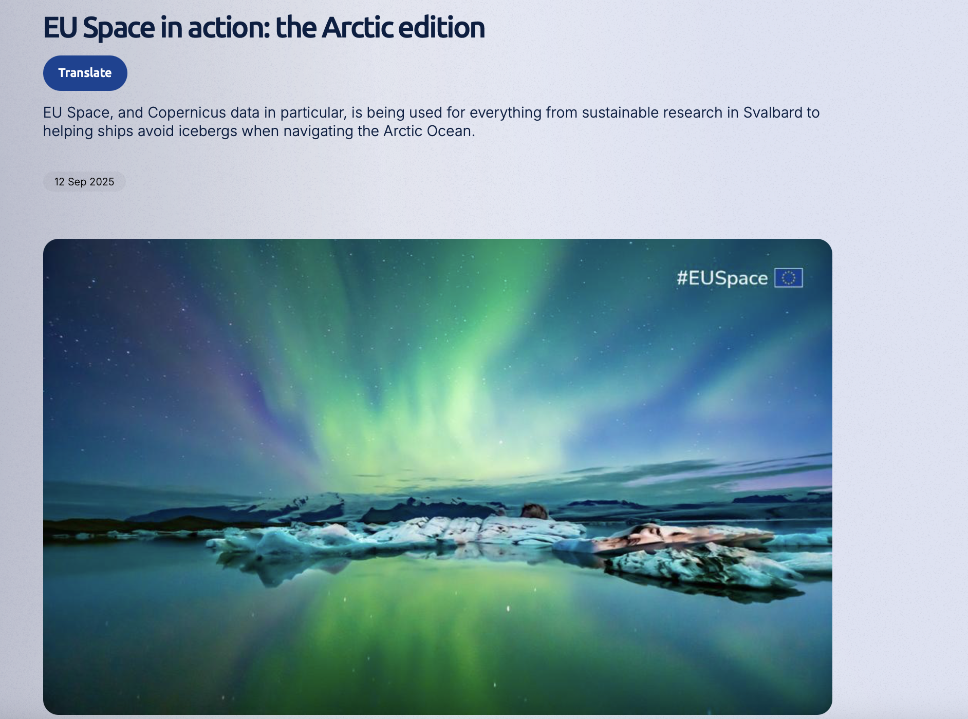
Article: EU Space in action: the Arctic edition
ACCIBERG has been profiled in a magazine article for the EU Agency for the Space Programme (EUSPA).
Newsletter No. 5
The latest ACCIBERG newsletter is now available to download, with reports on the latest project results on the iceberg forecast developments and progress in putting these forecasts on Copernicus’ EDITO Platform and
MetNo’s Værio Platform.
ACCIBERG at the UNOC3 Conference
Together with our project partners from Mercator Océan Intl., Laurent Bertino joined the UN Ocean Conference 2025 to demonstrate progress made in the ACCIBERG project on how to forecast sea ice and icebergs. He joined the European Digital Twin Ocean platformat the European Digital Ocean Pavilion "La Baleine" on Thursday 5th June.
Iceberg trackers have been deployed
May in the Arctic means the arrival of permanent daylight, and the onset of the breakup of the sea ice around Greenland. This means that the first deployments of GPS trackers onto icebergs around Greenland could take place last week. A team from the travel company Sedna-Explore have volunteered to help the ACCIBERG project tag the icebergs.
test
Arctic Cross-Copernicus forecast products for sea Ice and iceBERGs
Led by the Nansen Environmental and Remote Sensing Center (NERSC)
Follow Us
Subscribe to our mailing list
This project has received funding from the European Union's Horizon Europe research and innovation programme under grant agreement No. 101081568